Management
WHYMAP Groundwater Resources of the World
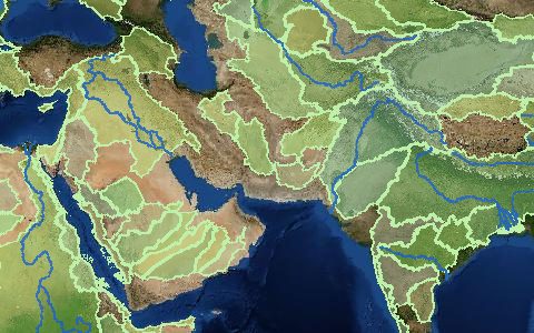
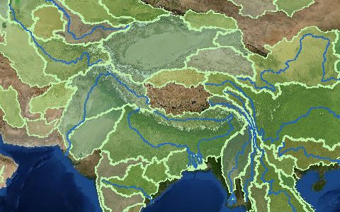
World-wide Hydrogeological Mapping and Assessment Programme. Global map of groundwater resources and aquifer types.
Hydrogeological provinces classified by aquifer type and recharge, with major aquifer systems and groundwater quality. A reference map for continental groundwater assessments.
- Source
- Federal Institute for Geosciences and Natural Resources
- Resolution
- 1:25,000,000
- Data type
- Polygons
- Time span
- Static
- Temporal
- Static
- Access type
- Direct download (external)
- Formats
- Shapefile, WMS
- Coverage
- Global (-180, -90, 180, 90)
- Licence
- See provider terms
- Provider page
- www.whymap.org/
Access
linkWHYMAP maps and downloads
curl "https://hydrological.org/api/v1/datasets/whymap/links?bbox=-75,-20,-50,5" \
  -H "Accept: application/json"
import requests
r = requests.get("https://hydrological.org/api/v1/datasets/whymap/links",
params={"bbox": "-75,-20,-50,5"})
for group in r.json()["groups"]:
for link in group["links"]:
print(link["url"])const res = await fetch("https://hydrological.org/api/v1/datasets/whymap/links?bbox=-75,-20,-50,5");
const { groups } = await res.json();
for (const g of groups) g.links.forEach(l => console.log(l.url));Also available as JSON: links · manifest · dataset record