Agricultural
MapSPAM 2020
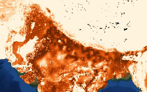
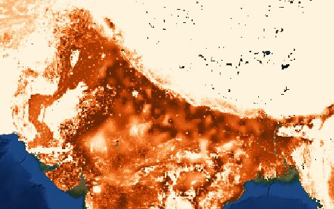
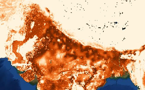
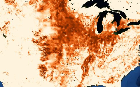
Spatial Production Allocation Model. Area, yield and production for 46 crops.
Physical area, harvested area, yield and production by crop and by irrigated or rainfed system, allocated from sub-national statistics with a cross-entropy model.
- Source
- International Food Policy Research Institute
- Resolution
- 5 arc-minutes (about 10 km)
- Data type
- Raster
- Time span
- 2000, 2005, 2010, 2020
- Temporal
- Snapshots
- Access type
- Direct download (external)
- Formats
- GeoTIFF, CSV
- Coverage
- Global land (-180, -60, 180, 90)
- Licence
- CC BY 4.0
- Provider page
- www.mapspam.info/
Access
linkData page with downloads (Harvard Dataverse)
curl "https://hydrological.org/api/v1/datasets/mapspam/links?bbox=-75,-20,-50,5" \
  -H "Accept: application/json"
import requests
r = requests.get("https://hydrological.org/api/v1/datasets/mapspam/links",
params={"bbox": "-75,-20,-50,5"})
for group in r.json()["groups"]:
for link in group["links"]:
print(link["url"])const res = await fetch("https://hydrological.org/api/v1/datasets/mapspam/links?bbox=-75,-20,-50,5");
const { groups } = await res.json();
for (const g of groups) g.links.forEach(l => console.log(l.url));Also available as JSON: links · manifest · dataset record