Agricultural
EarthStat Harvested Area and Yield
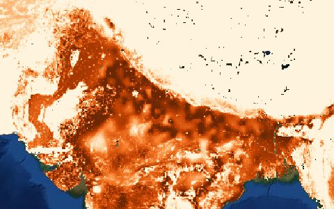
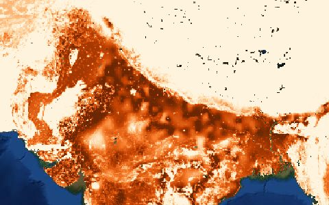
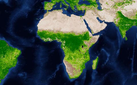
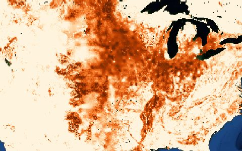
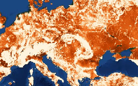
175 crops around the year 2000. Harvested area and yield for 175 crops.
Harvested area and yield for 175 crops, from census data combined with a cropland map. Still widely used for crop-specific water footprints.
- Source
- EarthStat (University of Minnesota and McGill University)
- Resolution
- 5 arc-minutes (about 10 km)
- Data type
- Raster
- Time span
- About 2000
- Temporal
- Static
- Access type
- Direct download (external)
- Formats
- GeoTIFF, NetCDF
- Coverage
- Global land (-180, -60, 180, 90)
- Licence
- See provider terms
- Provider page
- www.earthstat.org/harvested-area-yield-175-crops/
Cite as. Monfreda, C., Ramankutty, N., Foley, J. A. (2008). Farming the planet: 2. Global Biogeochemical Cycles, 22, GB1022. https://doi.org/10.1029/2007GB002947
Access
linkEarthStat download page
curl "https://hydrological.org/api/v1/datasets/earthstat-crops/links?bbox=-75,-20,-50,5" \
  -H "Accept: application/json"
import requests
r = requests.get("https://hydrological.org/api/v1/datasets/earthstat-crops/links",
params={"bbox": "-75,-20,-50,5"})
for group in r.json()["groups"]:
for link in group["links"]:
print(link["url"])const res = await fetch("https://hydrological.org/api/v1/datasets/earthstat-crops/links?bbox=-75,-20,-50,5");
const { groups } = await res.json();
for (const g of groups) g.links.forEach(l => console.log(l.url));Also available as JSON: links · manifest · dataset record