ET
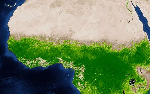
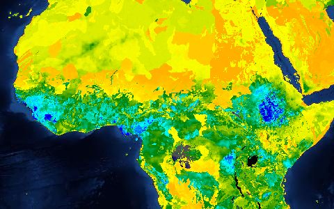
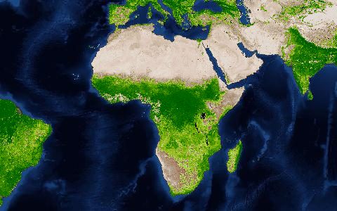
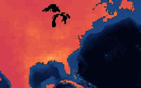
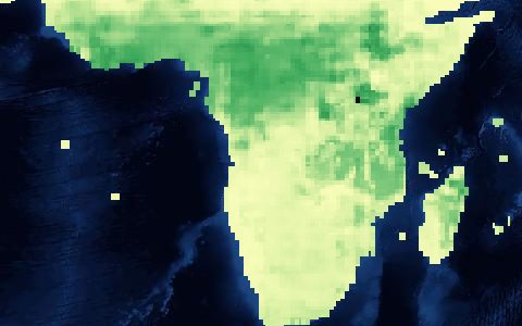
SSEBop Actual ET
Operational Simplified Surface Energy Balance (USGS FEWS NET). 1 km actual evapotranspiration from MODIS thermal data.
Actual ET from MODIS land surface temperature with a simplified energy balance, produced operationally for famine early warning. Anomalies against the long-term median are published alongside.
- Source
- U.S. Geological Survey
- Resolution
- 1 km
- Data type
- Raster
- Time span
- 2003–present
- Temporal
- Dekadal, monthly, yearly
- Access type
- Direct download (external)
- Formats
- GeoTIFF
- Coverage
- Global land (-180, -60, 180, 80)
- Licence
- Public domain (U.S. Government work)
- Provider page
- earlywarning.usgs.gov/fews/search/Global
Cite as. Senay, G. B., et al. (2013). Operational Evapotranspiration Mapping Using Remote Sensing and Weather Datasets. JAWRA, 49(3), 577–591. https://doi.org/10.1111/jawr.12057
Access
linkFEWS NET global data search
curl "https://hydrological.org/api/v1/datasets/ssebop/links?bbox=-75,-20,-50,5" \
  -H "Accept: application/json"
import requests
r = requests.get("https://hydrological.org/api/v1/datasets/ssebop/links",
params={"bbox": "-75,-20,-50,5"})
for group in r.json()["groups"]:
for link in group["links"]:
print(link["url"])const res = await fetch("https://hydrological.org/api/v1/datasets/ssebop/links?bbox=-75,-20,-50,5");
const { groups } = await res.json();
for (const g of groups) g.links.forEach(l => console.log(l.url));Also available as JSON: links · manifest · dataset record