Climate
MSWEP v2.8
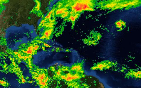
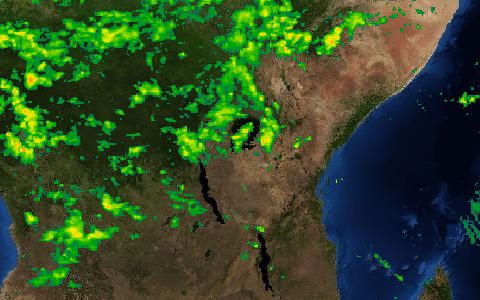
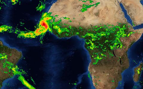
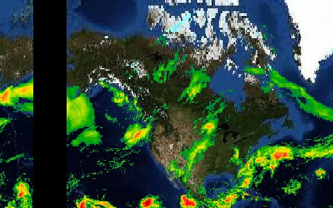
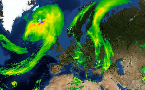
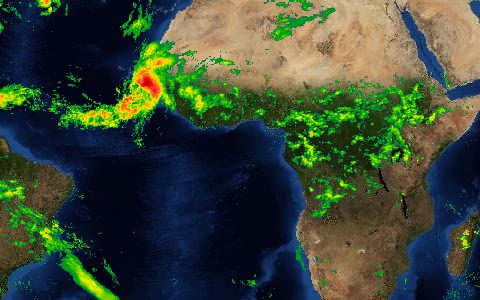
Multi-Source Weighted-Ensemble Precipitation. 3-hourly 0.1° precipitation merging gauges, satellites and reanalysis.
A weighted merge of gauge, satellite and reanalysis precipitation with daily gauge correction. It performs well for hydrological modelling across climates.
- Source
- GloH2O
- Resolution
- 0.1° (about 11 km)
- Data type
- Raster
- Time span
- 1979–near present
- Temporal
- 3-hourly, daily, monthly
- Access type
- Registration with provider · Free for non-commercial use after registration
- Formats
- NetCDF
- Coverage
- Global (-180, -90, 180, 90)
- Licence
- Free for non-commercial use
- Provider page
- www.gloh2o.org/mswep/
Cite as. Beck, H. E., et al. (2019). MSWEP V2 Global 3-Hourly 0.1° Precipitation: Methodology and Quantitative Assessment. BAMS, 100(3), 473–500. https://doi.org/10.1175/BAMS-D-17-0138.1
Access
linkRegistration and access
curl "https://hydrological.org/api/v1/datasets/mswep/links?bbox=-75,-20,-50,5" \
  -H "Accept: application/json"
import requests
r = requests.get("https://hydrological.org/api/v1/datasets/mswep/links",
params={"bbox": "-75,-20,-50,5"})
for group in r.json()["groups"]:
for link in group["links"]:
print(link["url"])const res = await fetch("https://hydrological.org/api/v1/datasets/mswep/links?bbox=-75,-20,-50,5");
const { groups } = await res.json();
for (const g of groups) g.links.forEach(l => console.log(l.url));Also available as JSON: links · manifest · dataset record