ObservationsReservoirs
JRC Global Surface Water
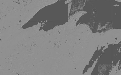
Global Surface Water Explorer. 30 m surface water occurrence and change since 1984.
Where and how often water was present on the surface, from every Landsat scene since 1984: occurrence, change, seasonality, recurrence, transitions and maximum extent. Tiles are 10° × 10° and named by their north-west corner.
- Source
- European Commission Joint Research Centre, Google
- Resolution
- 30 m
- Data type
- Raster
- Time span
- 1984–2021
- Temporal
- Monthly history, yearly classes, long-term summaries
- Access type
- Direct download (external)
- Formats
- GeoTIFF (10° tiles)
- Coverage
- Global land (-180, -60, 180, 80)
- Licence
- Free and open; see JRC terms
- Provider page
- global-surface-water.appspot.com/
Cite as. Pekel, J.-F., Cottam, A., Gorelick, N., Belward, A. S. (2016). High-resolution mapping of global surface water and its long-term changes. Nature, 540, 418–422. https://doi.org/10.1038/nature20584
Access
tilesOccurrence (percent of time water was present), 2021 release
10° × 10° tiles named by their north-west corner.
tilesSeasonality (months of water per year), 2021 release
10° × 10° tiles named by their north-west corner.
curl -fsSL "https://hydrological.org/api/v1/datasets/jrc-gsw/links.txt?bbox=-75,-20,-50,5" \
  | xargs -n 1 curl -fLO
import requests
urls = requests.get("https://hydrological.org/api/v1/datasets/jrc-gsw/links.txt?bbox=-75,-20,-50,5").text.split()
for url in urls:
name = url.rsplit("/", 1)[-1]
with requests.get(url, stream=True) as r, open(name, "wb") as f:
for chunk in r.iter_content(1 << 20):
f.write(chunk)const res = await fetch("https://hydrological.org/api/v1/datasets/jrc-gsw/links?bbox=-75,-20,-50,5");
const { groups } = await res.json();
for (const g of groups) g.links.forEach(l => console.log(l.url));Also available as JSON: links · manifest · dataset record