DEM
FABDEM
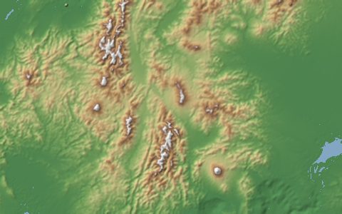
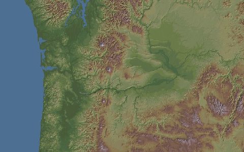
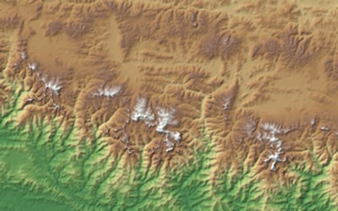
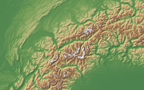
Forest And Buildings removed Copernicus DEM. 30 m bare-earth elevation from Copernicus GLO-30.
Copernicus GLO-30 with tree and building heights removed by machine learning, giving a terrain model closer to the ground surface. It is widely used for flood inundation modelling. Non-commercial licence.
- Source
- University of Bristol
- Resolution
- 30 m (1 arc-second)
- Data type
- Raster
- Time span
- 2011–2015 (from Copernicus DEM)
- Temporal
- Static
- Access type
- Direct download (external)
- Formats
- GeoTIFF (10° zip packages)
- Coverage
- 60°S – 80°N (-180, -60, 180, 80)
- Licence
- CC BY-NC-SA 4.0
- DOI
- 10.5523/bris.s5hqmjcdj8yo2ibzi9b4ew3sn
- Provider page
- data.bris.ac.uk/data/dataset/s5hqmjcdj8yo2ibzi9b4ew3sn
Cite as. Hawker, L., et al. (2022). A 30 m global map of elevation with forests and buildings removed. Environmental Research Letters, 17, 024016. https://doi.org/10.1088/1748-9326/ac4d4f
Access
tilesFABDEM V1-2 packages, 10° × 10° zip files
10° × 10° tiles named by their south-west corner.
curl -fsSL "https://hydrological.org/api/v1/datasets/fabdem/links.txt?bbox=-75,-20,-50,5" \
  | xargs -n 1 curl -fLO
import requests
urls = requests.get("https://hydrological.org/api/v1/datasets/fabdem/links.txt?bbox=-75,-20,-50,5").text.split()
for url in urls:
name = url.rsplit("/", 1)[-1]
with requests.get(url, stream=True) as r, open(name, "wb") as f:
for chunk in r.iter_content(1 << 20):
f.write(chunk)const res = await fetch("https://hydrological.org/api/v1/datasets/fabdem/links?bbox=-75,-20,-50,5");
const { groups } = await res.json();
for (const g of groups) g.links.forEach(l => console.log(l.url));Also available as JSON: links · manifest · dataset record