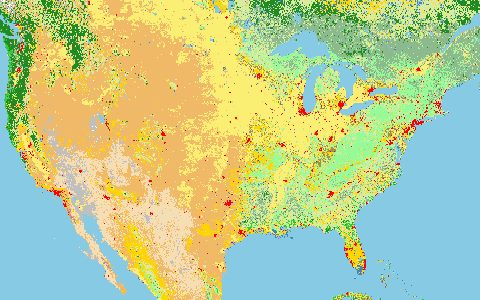
Land Use
CORINE Land Cover
Copernicus Land Monitoring Service. European land cover in 44 classes since 1990.
A photo-interpreted inventory in 44 classes with change layers between editions. It is the reference land cover for most European catchment models and for the Water Framework Directive.
- Source
- Copernicus Programme (European Union)
- Resolution
- 100 m raster, 25 ha vector
- Data type
- Raster and polygons
- Time span
- 1990–2018
- Temporal
- 1990, 2000, 2006, 2012, 2018
- Access type
- Download with free login · Free EU login
- Formats
- GeoTIFF, GeoPackage, File geodatabase
- Coverage
- Europe (EEA38 and UK) (-32, 27, 45, 72)
- Licence
- Copernicus data policy (free and open)
- Provider page
- land.copernicus.eu/en/products/corine-land-cover
Access
linkCLMS product page and downloads
curl "https://hydrological.org/api/v1/datasets/corine-land-cover/links?bbox=5.5,48.5,7.5,50.5" \
  -H "Accept: application/json"
import requests
r = requests.get("https://hydrological.org/api/v1/datasets/corine-land-cover/links",
params={"bbox": "5.5,48.5,7.5,50.5"})
for group in r.json()["groups"]:
for link in group["links"]:
print(link["url"])const res = await fetch("https://hydrological.org/api/v1/datasets/corine-land-cover/links?bbox=5.5,48.5,7.5,50.5");
const { groups } = await res.json();
for (const g of groups) g.links.forEach(l => console.log(l.url));Also available as JSON: links · manifest · dataset record